Secure compliance
Ensure audit-ready EUDR compliance
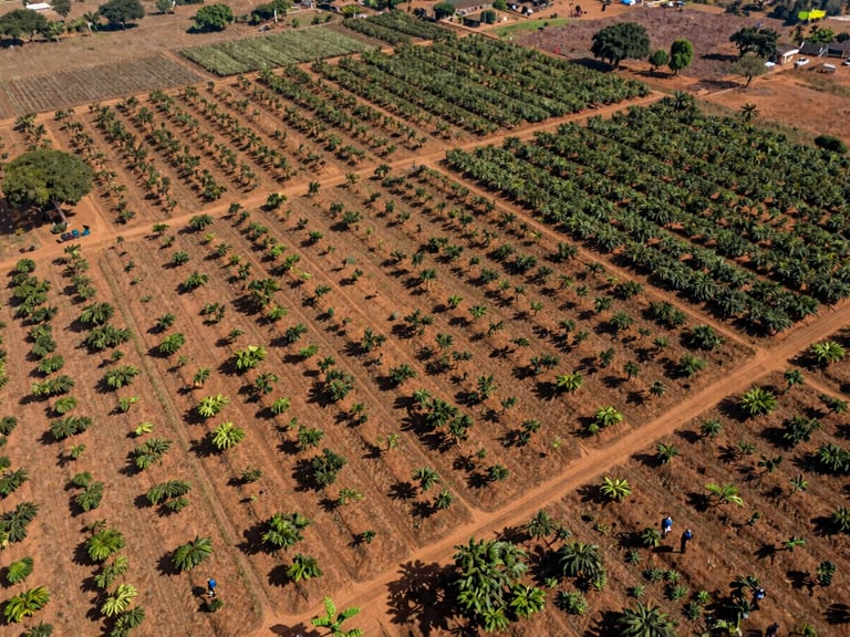
Initiate boots-on-the-ground mapping and smallholder registration. Our Lagos-based teams deliver audit-ready polygon data, farm boundaries, and first-mile traceability reports to secure your global market access.
West African Operations
We deploy active field teams across Nigeria, Ghana, and Côte d'Ivoire to map polygon boundaries, verify farmer identities, and secure smallholder data integrity directly at the source.
100%
polygon boundary verification
Project intake
Start your supply chain assessment
We work with exporters, agribusinesses, and development partners to establish robust traceability systems. Submit your operational scope below to schedule a pilot project or request a detailed technical proposal.
Response time
Our mapping team is ready
We review every inquiry within 24 hours. Our Lagos-based technical advisors coordinate field deployments across major West African cocoa and cashew regions to prepare your supply chain for compliance.