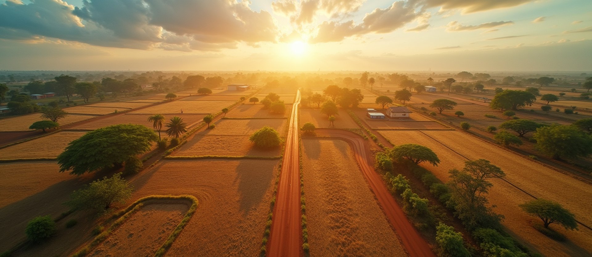
Precision farm boundary mapping
We walk smallholder plot boundaries with high-precision GPS trackers, generating audit-ready polygon datasets that secure your international market access.
Our Methodology
Our three-step mapping process
01
02
03
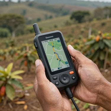
Boundary walking
Identity verification
Geospatial audit
Field teams walk every meter of your smallholders' farms with professional GPS trackers to capture exact polygon coordinates.
We register each farmer with verified national identity data, linking physical land ownership directly to production-origin records.
Our GIS analysts cross-check the captured polygons against protected forest maps to guarantee absolute deforestation compliance.
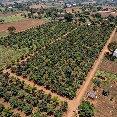
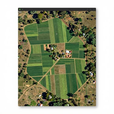
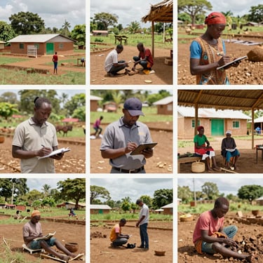
Field Evidence
Geospatial data in action
Review actual outputs from our field operations, showing the technical precision of our mapping and smallholder registration systems across West African supply chains.
Technical Details
Frequently asked questions
How accurate is the GPS mapping?
What crops do you support?
Our field teams use high-precision GPS handhelds that achieve sub-meter accuracy, ensuring all polygon boundaries meet strict European Union audit requirements.
While we specialize in cocoa and cashew value chains across Nigeria, our mapping and registration systems adapt easily to any smallholder crop.
How is data security managed?
Do you support EUDR readiness?
All farmer registration data and geospatial coordinates are securely encrypted and stored on cloud servers, providing audit-ready access exclusively to authorized exporters.
Yes. Our polygon mapping directly addresses EUDR requirements by proving your commodities are not sourced from deforested land or protected forest reserves.
Secure your supply chain today
Contact our Lagos office to schedule our boots-on-the-ground mapping teams for your smallholder network.